
New technologies and ideas have emerged to reduce wildlife road-strike, but councils are hamstrung by limited finances and autonomy, Macedon Ranges Shire Council says.
“Residents want councils to act more quickly with more resources to do a whole range of things: put in electronic responsive signage, underpasses, overpasses and narrow roads,” chief executive officer Bernie O’Sullivan said.
“In a rate-capping environment, we’ve got a really tight budget. We’re doing what we can, but we need help.”
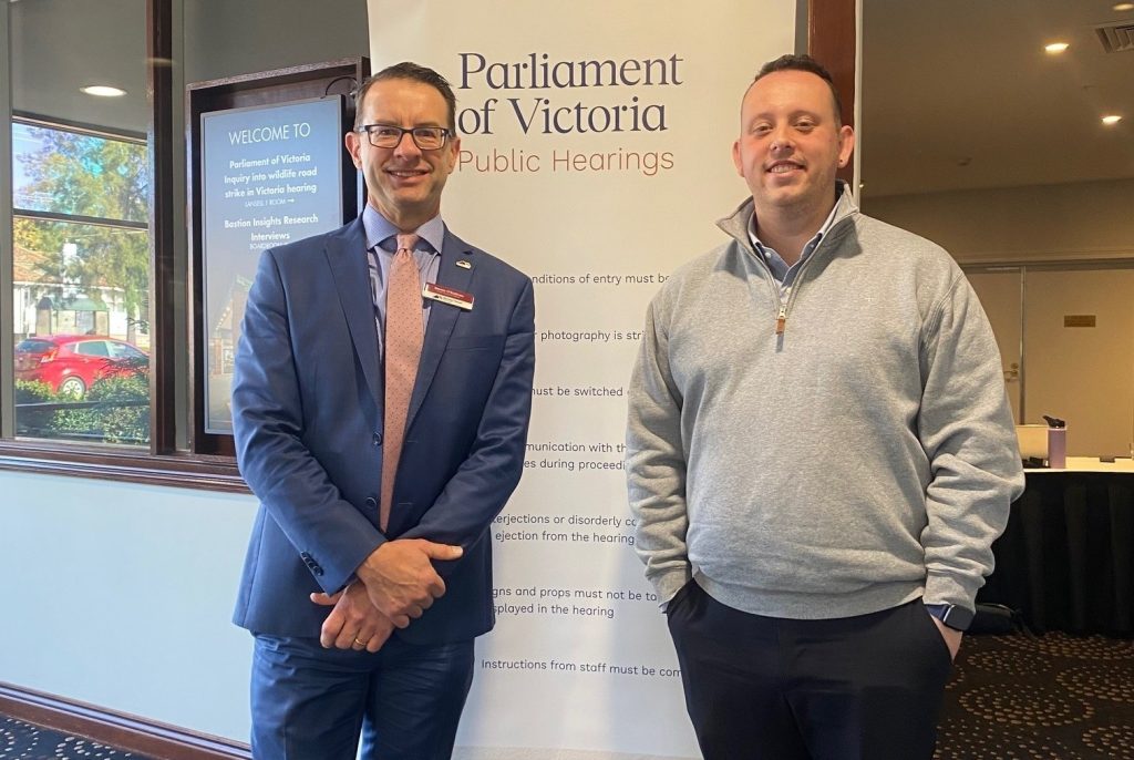
The comments were made during Mr O’Sullivan and manager of engineering and asset services Daniel Grigson’s presentation to the Victorian Parliament’s inquiry into wildlife road-strike at Bendigo last week.
MRSC urged reforms to give councils more flexibility, more resources and more tools to protect both wildlife and people on roadways.
Mr O’Sullivan said Macedon Ranges had one of the highest wildlife vehicle collision rates in Victoria and the problem was growing.
“Road-strikes in our shire are not only frequent, they’re increasingly dangerous,” he said.
“These collisions affect not just wildlife, not just motorists, but also impact the broader community and they are putting increasing pressure on our already stretched wildlife cares and volunteers.
“Animal strikes now make up about five per cent of all vehicle crashes locally, and disturbingly, Gisborne and Woodend were both named among the top five Victorian hot-spots for wildlife collisions in 2023 (AAMI).”
Since 2019, Wildlife Victoria has recorded more than 5000 native animals struck by vehicles in the Macedon Ranges — a figure thought to under-represent the true scale of incidents, as many go unreported.
Between January last year to June 30 this year, MRSC collected at least 750 animals from council-managed roadsides alone.
Development and drought were considered two of the biggest contributing factors to animals venturing closer to roadsides as they search for food and areas to relocate.
Romsey and Gisborne were flagged as the two big growth areas for the Macedon Ranges and where the problem could increase accordingly.
Mr O’Sullivan said council had integrated wildlife strategy and safety into its Mobility and Road Safety Strategy 2023-2032 and was developing Geographic Information System heat maps to target hot-spots.
However, seeking lower speed limits can be a slow process that doesn’t always result in change, and the council wants to see this process reviewed.
“Councils cannot reduce speed limits in wildlife corridors without state department approval, even when local risk is clear and evidence-based, and respectfully, I’d say that is not a fast process,” he said.
Mr O’Sullivan also highlighted new technologies the council was interested to explore and funding gaps that exist.
“Technologies such as responsive signage, crossings and wildlife detection systems, they’re promising but they’re out of reach for many councils without external funding or technical support,” he said.
“We strongly support greater investment in research infrastructure and shared data platforms that enable better state-wide responses.”
One opportunity the MRSC is now considering is mobile variable message flashing signage that can be placed in wildlife corridors to give drivers additional warning.
MRSC also flagged interest in trialling any new technologies emerging in signage and mapping such as real-time and infrared signage that has proven successful in other parts of the world.